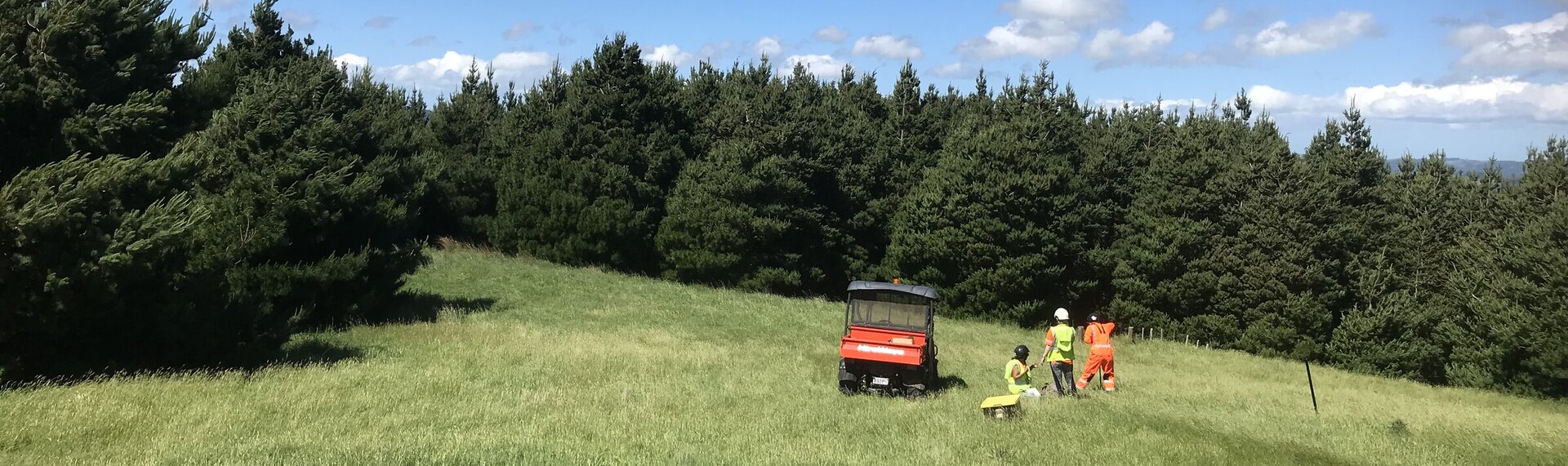

This spring campaign, led by The University of Auckland's Dr Delwyn Moller, provides key soil moisture and forest canopy data from various sites across NZ. Remote sensing data are collected when the forested catchments are wet (spring) and dry (late summer) to provide an unparalleled insight into the key hydrological processes that control planted forest water use, rainfall storage and release right across the catchment.
The leading edge technology SlimSAR, uses L-Band and P-Band radar signals to measure soil moisture at a fine scale deep into the soil. The team from University of Southern California's Dr Mahta Moghaddam lab, Xerra Earth Observation Institute's Robert Schafer, and others turn the raw data into the information Forest Flows needs.