New paper! This research, in the high impact CATENA journal, looks at the spatial resolution of digital elevation maps (DEM) and interpolation of topography and soil properties. This interpolation commonly used for all sort of analyses, like forestry, agriculture, geology, remote sensing and hydrology. However, they could be fundamentally flawed if the spatial pattern is distorted. Doctor Serajis Salekin led the team and found:
* Mean absolute errors for primary and secondary topographic features increases with DEM spatial resolutions
*Topographic feature values are affected by plot measurement procedure (point vs plot average)
*A DEM resolution of <15 m is recommended when deriving topographic features.
This paper is a collaboration between Scion and the University of Canterbury School of Forestry. Coauthors are Priscilla Lad, Justin Morgenroth, Yvette Dickinson.
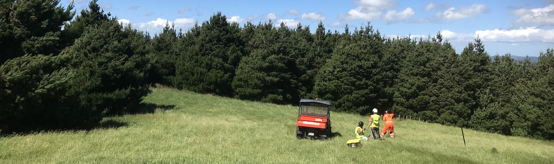
This research is part of the Forest flows programme and is funded by the NZ Ministry of Business, Innovation and Employment Endeavour Fund.
TAGS
New Forest Flows Paper in CATENA!
July 14, 2023